
From collection Person

Related Items
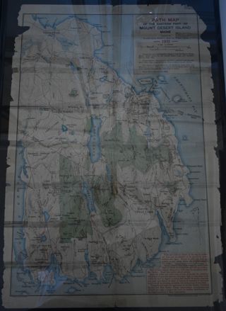
Path Map of MDI, 1911
A path map of the easter half of MDI.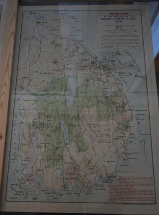
Path Map of MDI, 1937
A path map of the eastern half of MDI.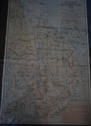
Path Map of MDI, 1906
A path map of the eastern half of MDI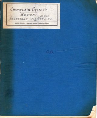
Champlain Society | Report of the Secretary for the year 1882-83
Title page: Champlain Society | Report of the Secretary for the year 1882 . 1883 15 hand numbered pages using the right side only of a two page spread. Nomenclature: Log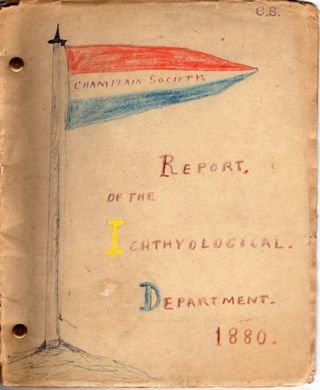
Champlain Society | Report of the Ichthyological. | Department. | 1880.
Title page: Champlain Society | 1880. | Report of the Ichthyological Department. | Cambridge | 1880. 17 hand numbered pages Nomenclature: Log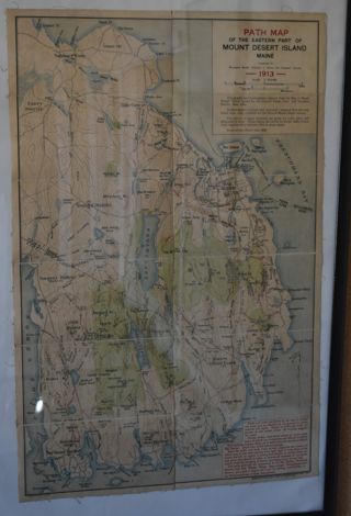
Path Map of MDI, 1913
A path map of the eastern half of MDI.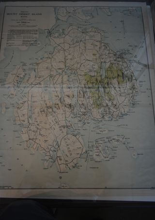
Path Map of MDI. 1934
A path map of the eastern half of MDI.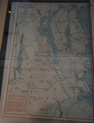
Path Map of MDI, 1932
A map of the paths on the eastern half of MDI.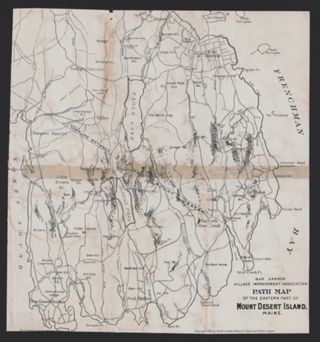
Bar Harbor Village Improvement Association Path Map of Mount Desert Island, 1896
A map showing walking paths on the eastern half of Mount Desert Island. The map is adapted from an 1896 map of Mount Desert Island compiled by Waldron Bates, Edward L. Rand, and Herbert Jaques.

