
From collection Person

Related Items
Path Map
A path map of the eastern half of MDI.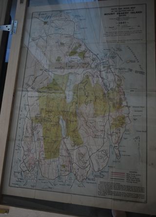
Path Map of MDI, 1941
A path map of the eastern half of MDI.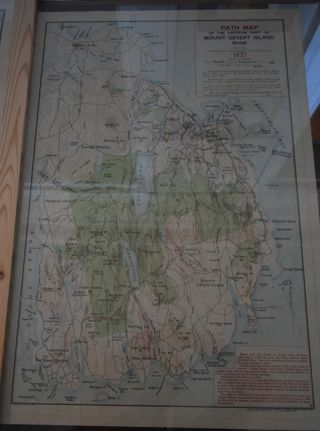
Path Map of MDI, 1937
A path map of the eastern half of MDI.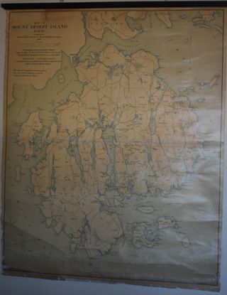
Map of MDI,1896
Map of MDI and the surrounding islands.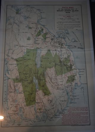
Path Map of MDI, 1922
A path map of the eastern half of MDI.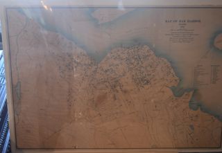
Map of Bar Harbor, 1896
A map of the town of Bar Harbor.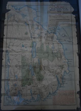
Path Map of MDI, 1911
A path map of the easter half of MDI.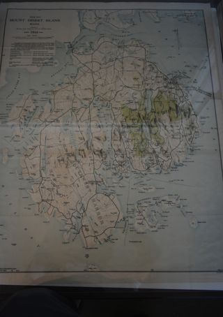
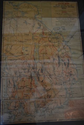
Path Map of MDI. 1934
A path map of the eastern half of MDI.
C. S. | Report of the Secretary | 1886-7
Title page: Champlain Society | Report of the Secretary. | For 1886.7 | Cambridge | 1887 6 pages, one side only Includes a 2 page catalog of Champlain Society Library. Nomenclature: Log

