
From collection Place
State of Maine created from the Commonwealth of Massachusetts' District of Maine. The geographic center, or that point on which a surface of uniform thickness would balance, for the state is located in Piscataquis County, 18 mi N of Dever.
Related Items
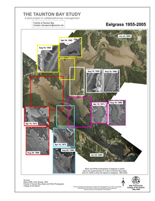
The Taunton Bay Study: Eelgrass 1955-2005
Changes in Eelgrass over time in Taunton Bay, headwaters of Frenchman Bay. This project is in ESRI GIS Story Map format.
Abortion Access in MaineEva McMillan
Abortion accessibility in Maine is unique because of the state's size and rural population. With long drive times presenting a barrier for many individuals, expanding access to later abortion care should be a priority. This project is in E…
River Herring at Wight's Pond
an outreach piece from College of the Atlantic's Fisheries, Fishermen, and Fishing Communities course 2023. This project is in ESRI GIS Story Map format.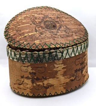
Etched Birch Bark Basket
Birch bark etched basket. Made by Penobscot artist Richard Love. Lid (.01) and Base (.02)
River Herring Co-management in Downeast Maine
A final project for College of the Atlantic's Fisheries, Fishermen, and Fishing Communities course 2023. This project is in ESRI GIS Story Map format.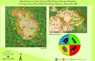
Distribution of Four Ground-Dwelling Arthropod Families
Distribution of Four Ground-Dwelling Arthropod Families in Traps Across Pine Hill and Settlement Quarry, Deer Isle, Maine. This project is in ESRI GIS Story Map format.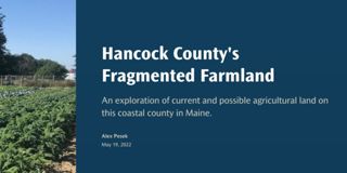
Hancock County's Fragmented Farmland
An exploration of current and possible agricultural land on this coastal county in Maine. This project is in ESRI GIS Story Map format.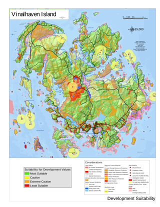
Suitability for Residential Development on Vinalhaven Island
Based on a map series funded by the Vinalhaven Land Trust. This map was presented at the ESRI International Use Conference in 2003 and was selected to be included in the ESRI Map Book. The Web link below will go to the full map series. Thi…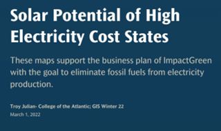
Solar Potential of High Electricity Cost States
These maps support the business plan of ImpactGreen with the goal to eliminate fossil fuels from electricity production. This project is in ESRI GIS Story Map format.

